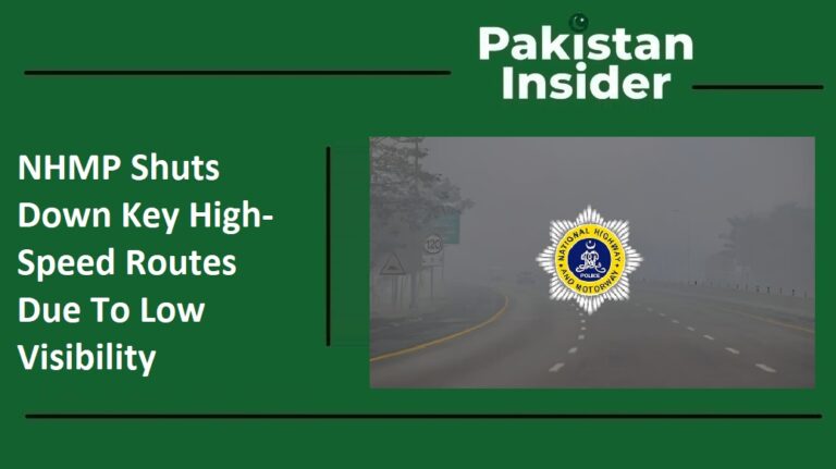
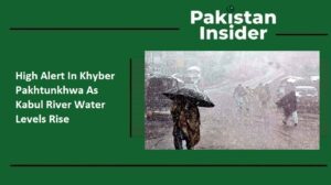
High Alert In Khyber Pakhtunkhwa As Kabul River Water Levels Rise
Authorities in Pakistan have issued an urgent weather alert for the next few days. A powerful weather system is moving into the northern parts of the country. This system is expected to bring heavy rain and thick snow to the mountains. Because of these conditions, the Kabul River might face a sudden rise in water levels. People living near the river and its branches need to be very careful. Experts say that the risk of flash floods is high during this time. Staying informed and prepared is the best way to keep families and property safe.
Key Highlights
- A flash flood warning is in place for the Kabul River on January 22 and 23.
- A strong westerly wave will affect upper Pakistan starting the evening of January 21.
- Heavy rain and snow are expected in Khyber Pakhtunkhwa and Kashmir.
- The Provincial Disaster Management Authority (PDMA) is on high alert to handle emergencies.
- Residents in mountainous areas should watch for fast-moving water and rising river levels.
A Change in the Weather Pattern
The Federal Flood Commission has been watching the skies closely. They recently shared that a new weather pattern is arriving. This system, called a westerly wave, is quite strong. It will start to show its effects on the evening of January 21. The main impact will be felt until January 24. During this period, the upper parts of Pakistan will see a lot of activity. This includes cold winds, dark clouds, and significant precipitation. When heavy rain falls on mountain peaks that already have snow, it can cause the snow to melt. This extra water flows down into the Kabul River and its tributaries, making the rivers much fuller than usual.
Regions Facing the Highest Risk
Several districts in the Khyber Pakhtunkhwa province are likely to see the most rain. Places like Swat, Chitral, and Dir are at the top of the list. Other areas like Mansehra, Abbottabad, and Kohistan should also prepare for wet weather. These regions have steep hills and deep valleys. When it rains heavily in these spots, the water has nowhere to go but down into the riverbeds. The Kashmir region is also expected to receive moderate to heavy rain. Because these areas are so close to the river systems, the chance of a flash flood cannot be ignored. Local residents should keep an eye on the water level in nearby streams and avoid crossing low-lying bridges during the storm.
Understanding the Danger of Flash Floods
Many people wonder why a flash flood is so dangerous. According to global disaster experts, these floods happen very quickly. They usually start within six hours of heavy rain. In some cases, the water can rush down a mountain in only three hours. A flash flood is like a wall of water. It moves with a lot of power and can pick up rocks, trees, and mud. It can easily sweep away vehicles or damage irrigation infrastructure. Because they happen so fast, there is often very little time to react. This is why the FFC alert is so important. It gives people a few days to prepare before the rain actually starts.
Government Agencies Taking Action
The government is not taking this weather warning lightly. The KP Irrigation Department has been told to check all flood protection walls. Field teams are being sent out to monitor the river banks. At the same time, the Provincial Disaster Management Authority (PDMA) is coordinating with local district leaders. Their goal is to prevent any loss of human life. They are also working to protect public and private property. Rescue teams are being put on standby so they can move quickly if a village gets flooded. These official groups are working together to make sure that the flood protection infrastructure holds up against the rising water.
How to Stay Safe During the Alert
Safety starts with being aware of your surroundings. If you live in a flood-prone area, you should have a plan. Make sure you know the quickest way to get to higher ground. Keep your phone charged to receive emergency alerts from the government. It is also wise to keep important documents in a waterproof bag. Avoid driving on roads that are known to flood easily. Remember that even a small amount of moving water can be strong enough to knock a person down. By following the advice of the local administration, you can help keep your community safe. The Kabul River warning is a reminder that nature can be unpredictable, but being prepared makes a huge difference.
Looking Ahead at the Weather Forecast
The current weather forecast suggests that the situation should start to improve after January 24. However, the days between January 21 and January 23 are the most critical. During this window, the river flows will be at their highest. Once the westerly wave passes, the risk of flash flooding will go down. Until then, everyone in the affected districts must stay alert. Keep checking the news for updates from the Federal Flood Commission. By staying calm and following safety rules, the people of the north can navigate this winter storm safely. The priority remains protecting lives and ensuring that the Kabul River basin stays secure during this period of heavy rain and snow.